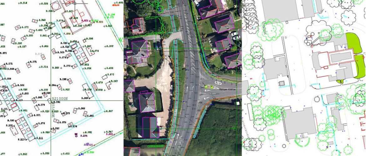
Topographical surveys-Measured building surveys-Laser scanning surveys-As‐built surveys-Drone surveys-Hydro-graphic & coastal surveys.
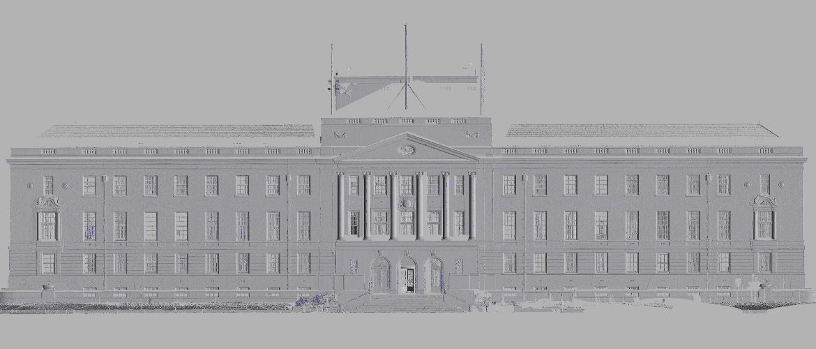
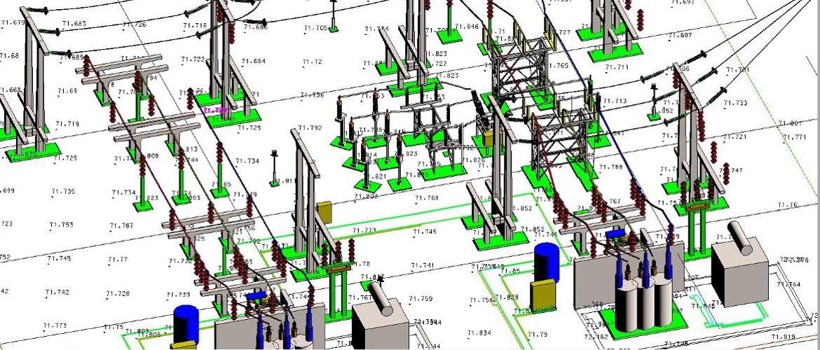
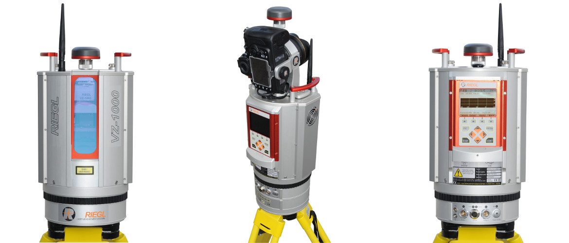
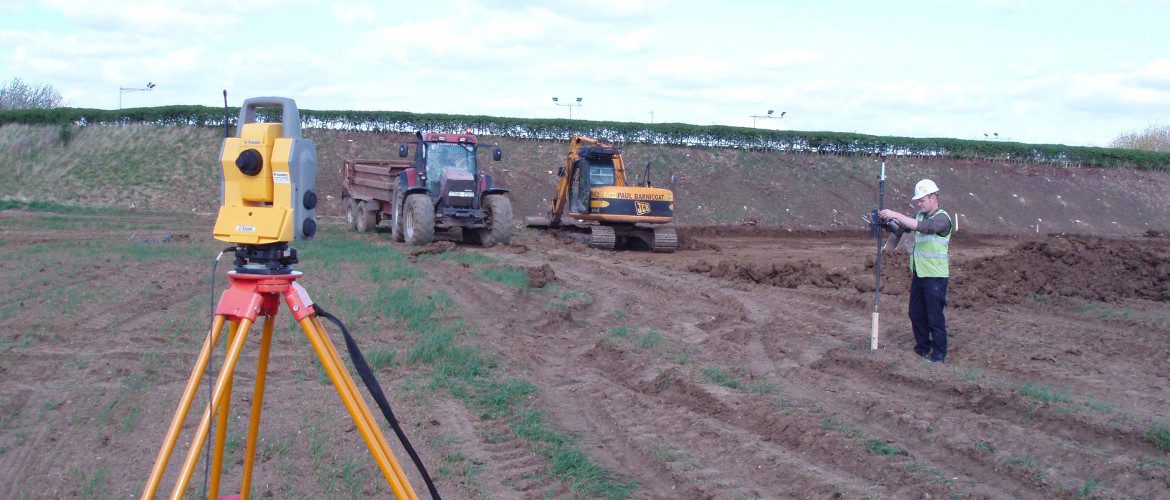
Utilising the latest long range laser scanners, UAV’s, survey grade GPS, total stations (conventional and reflector less) and precise digital levels.
Mining Surveys (UK) Ltd, est.1989, based in the Midlands and operating throughout the UK, providing a professional, prompt and precise surveying and site engineering service.
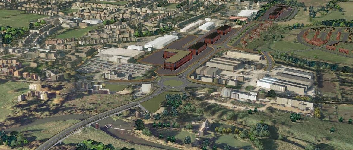
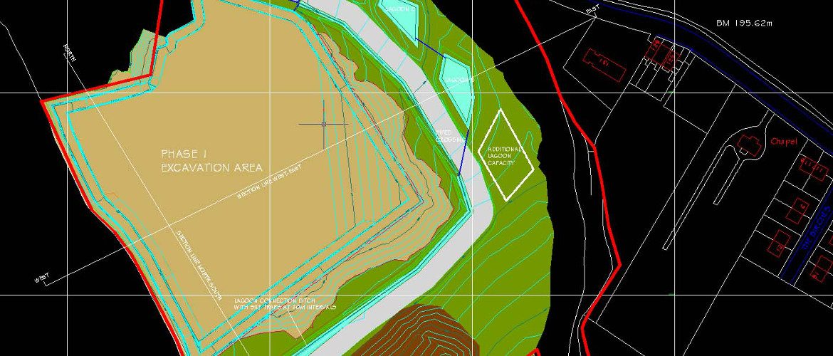
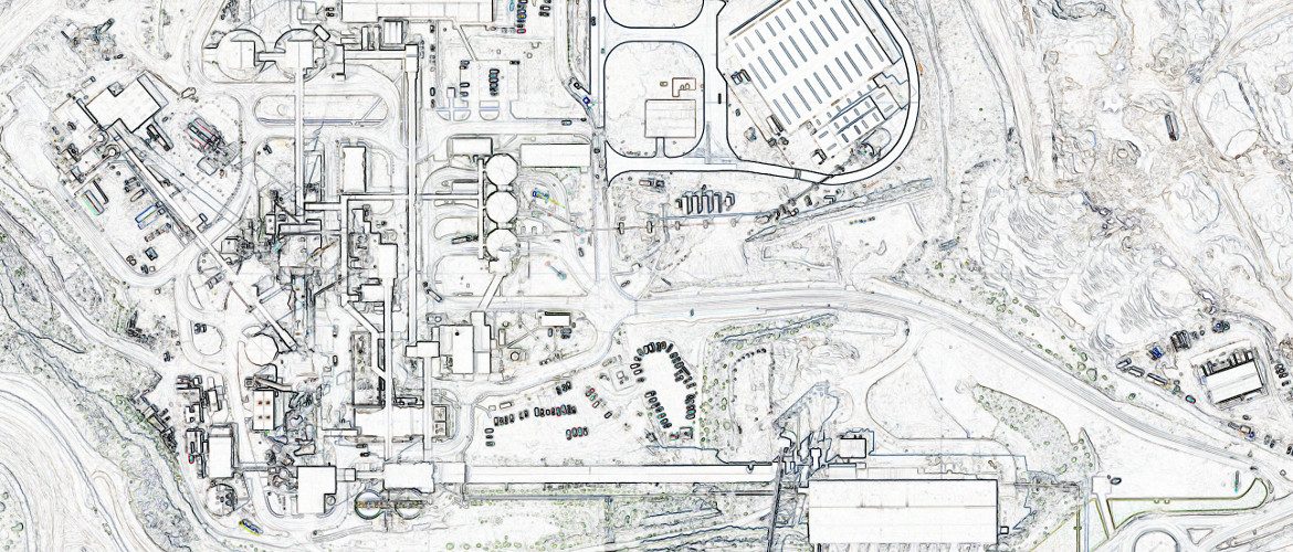
Specialists in very large and complex surveys of both land and buildings.
Very few companies, operating in the UK, own hardware and software as technical advanced as ours.
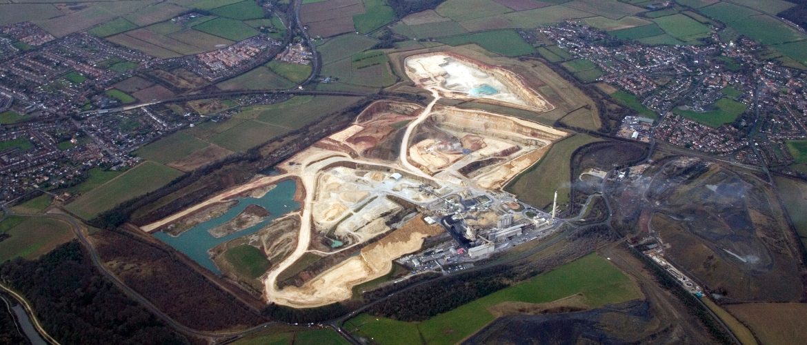
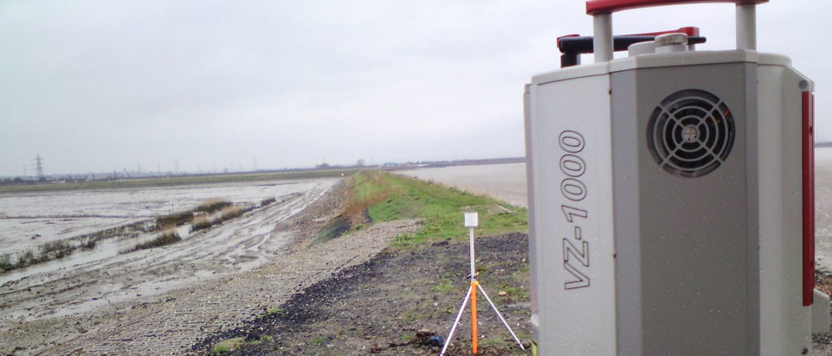
Our long range scanner is particularly suited to monitoring ground movement. Slope stability monitoring including quarry walls and faces, dam walls, hillsides, mountainsides, coastal erosion and GIS applications.
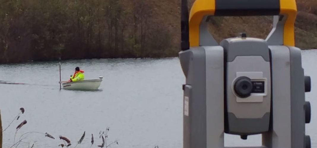
We will survey anything, above water level or below. From the air or the ground whether it’s in a confined space or underground. Anything measured and quantified, with plans, sections, elevations, digital models and images.