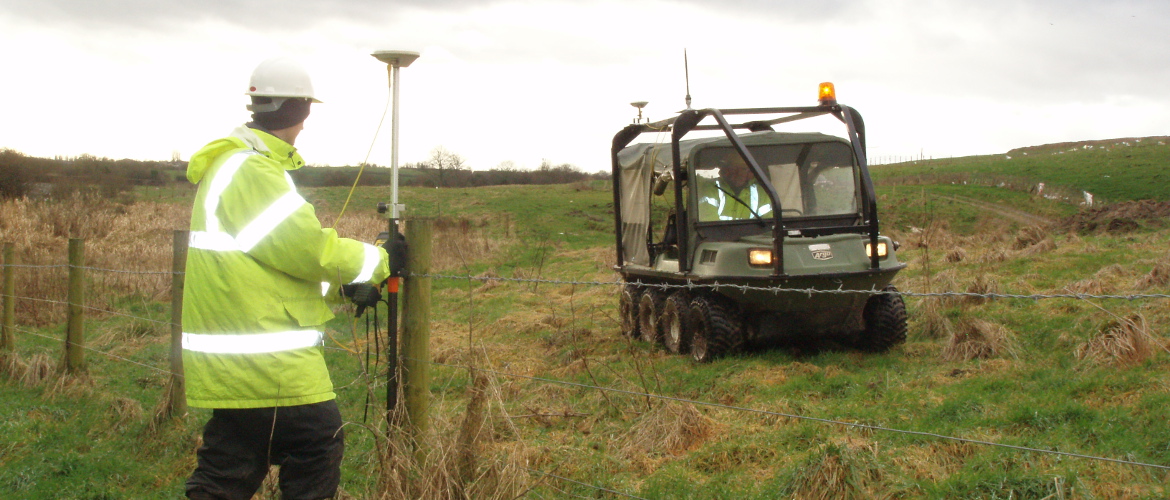
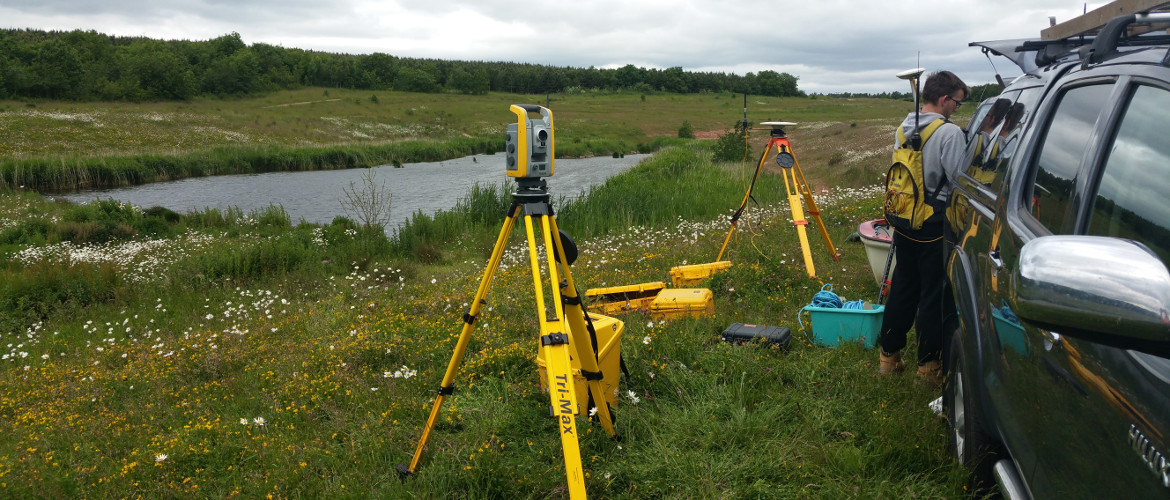
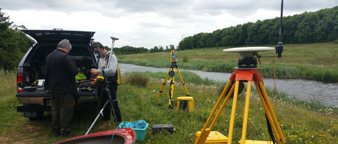
Land and Topographical Surveys are undertaken using the latest survey technology. Trimble direct reflex total stations, Trimble GPS and Trimble VRS Now. Experienced surveyors provide our clients with cost effective, high accuracy and detailed survey information. Our Quality Control Systems maintain the accuracy and quality of the final output.
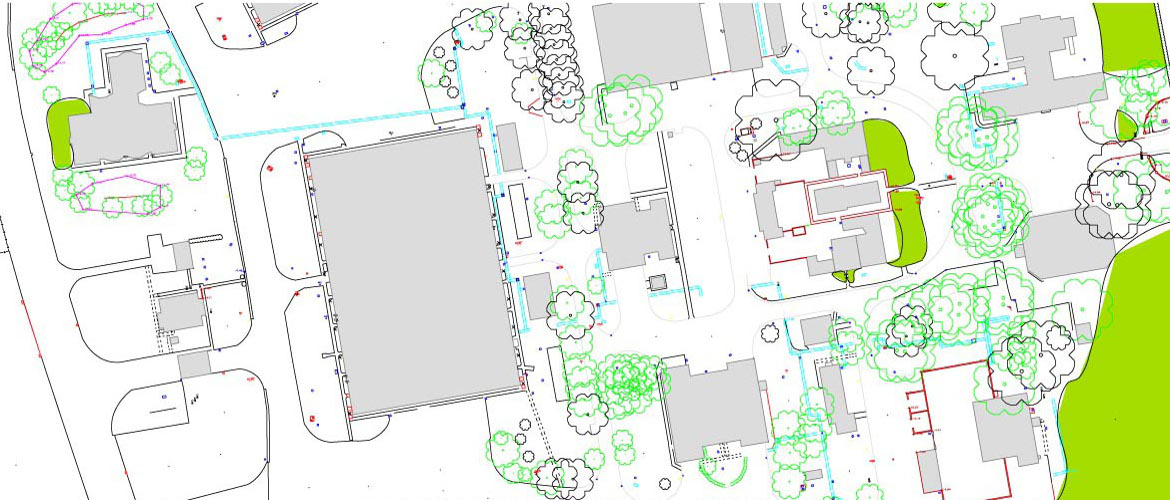
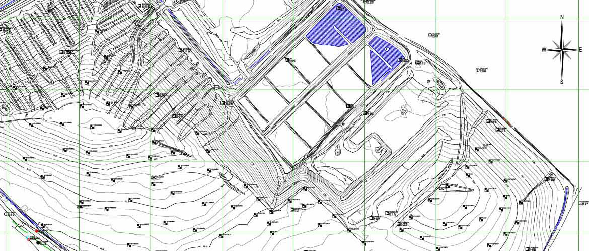
Using LSS land survey software and AutoCAD we are able to provide both 2D plans and 3D DTM’s (Digital Terrain Models) from which we can supply data in most formats to our clients via email or CD.
- Land surveying
- As‐Built Surveys
- Check Surveys
- Boundary Surveys
- Golf Course Survey And Design
- GPS Surveys
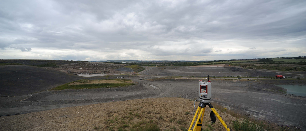
- Landfill Surveys
- Quarry Surveys
- Road, Highway & Drainage Surveys
- Site Visualisation / Visibility Surveys
- Topographic Surveys
- Tree Surveys
Animated Terrain Models can be supplied which include all software required for viewing, in most cases at no extra cost. Surveys can be fixed to OS grid and datum using an accurate network of control stations for use by contractors or the client.