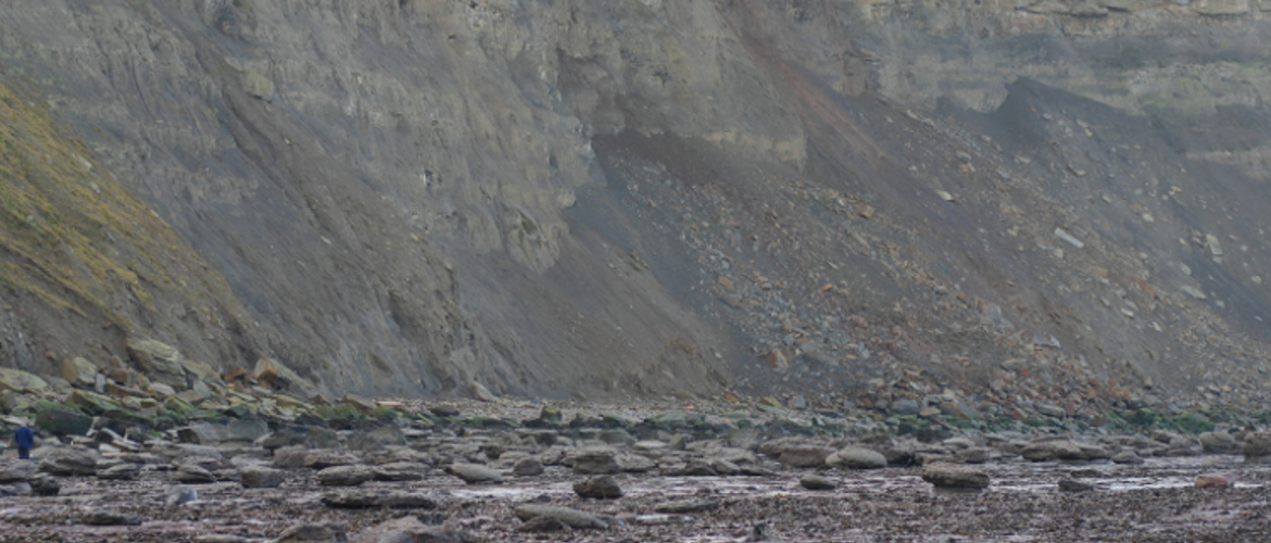
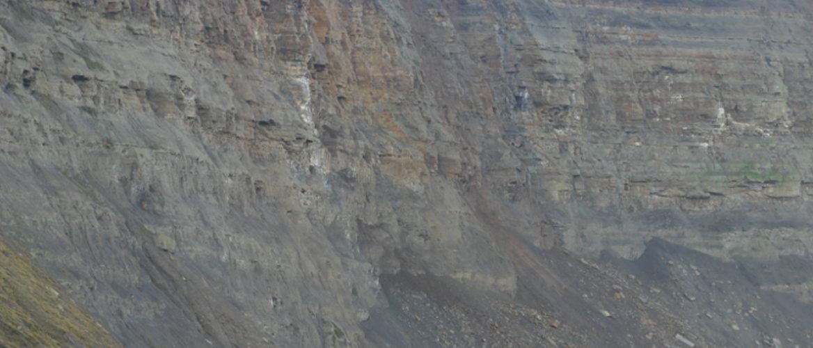
Coastal Surveys-Beach Surveys-Coastal Erosion Monitoring-Cliff Face Surveys
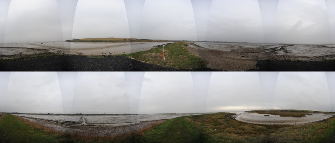
Mining Surveys (UK) Ltd offer more solutions for coastal surveying. Traditional methods of using GPS, to survey sections on a beach at 200 metre intervals, now seem out dated and very inaccurate and in some areas very unsafe. We offer a more modern approach.
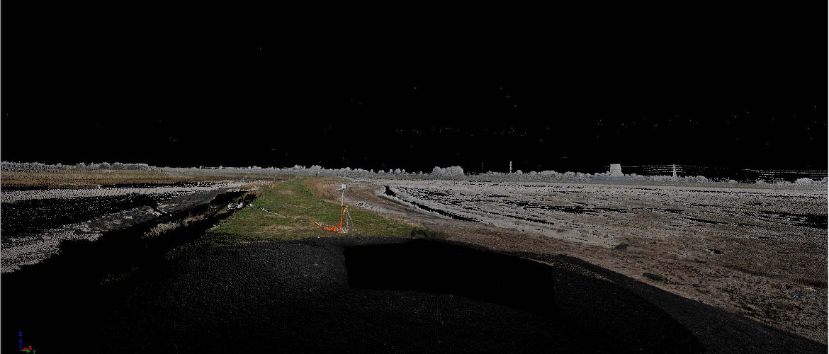
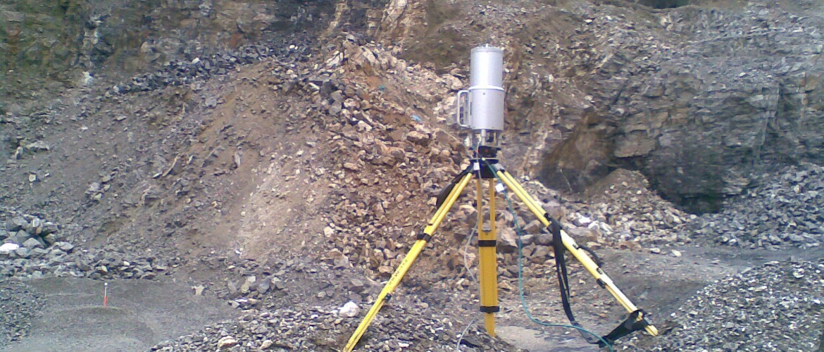
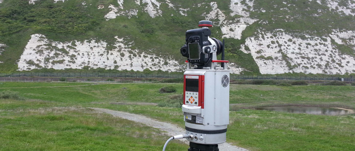
Laser scanning is now recognised as the solution to many types of surveying. Numerous surveying companies offer a laser scanning solution for coastal work but only a very few have the capability to undertake the work. Most of the, so called long range, laser scanners quote maximum ranges of 300 meters but their effective range can be as low as 150 metres. The Riegl VZ1000 laser scanner has a range of 1.4 km. It collects data at 122,000 points per second, about 2.5 times faster than most other scanners and as we all know time and tide waits for no man.
UAV’s also offer a solution and we have 3. One is a multi rotor, high accuracy, high resolution system. The second is another multi rotor with slightly lower accuracy and image resolution. The third is a fixed wing solution, this is a low cost solution where speed is more important and accuracy is less important. Typically looking at ground movement greater than 0.5 meter as opposed to 50mm with the multi rotor.
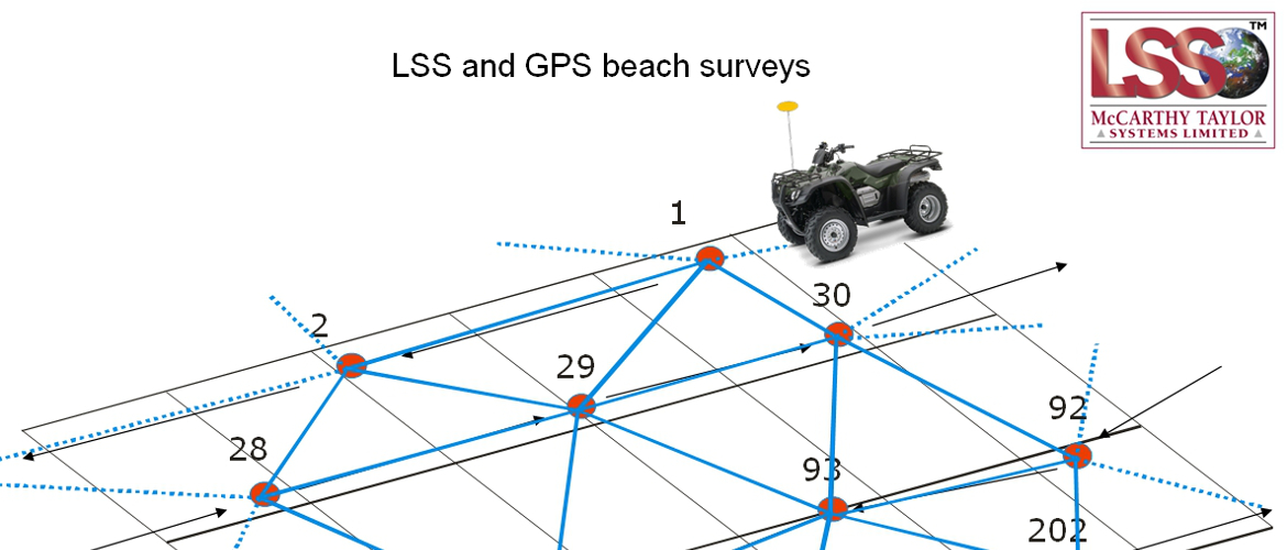
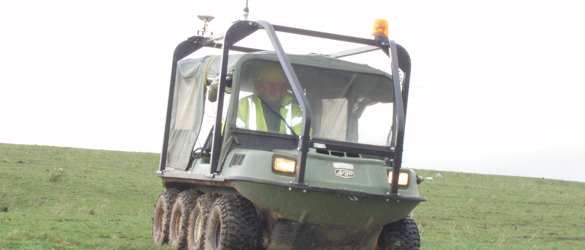
GPS still has a place and where cost is a real issue we can offer a solution, where access and safety allows, using suitable vehicles mounted with survey grade GPS set to record a point every 5 or 10 meters. Accuracy around the 80mm mark. This method can be more accurate than sections at 200m intervals.
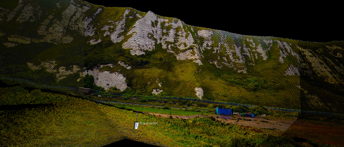
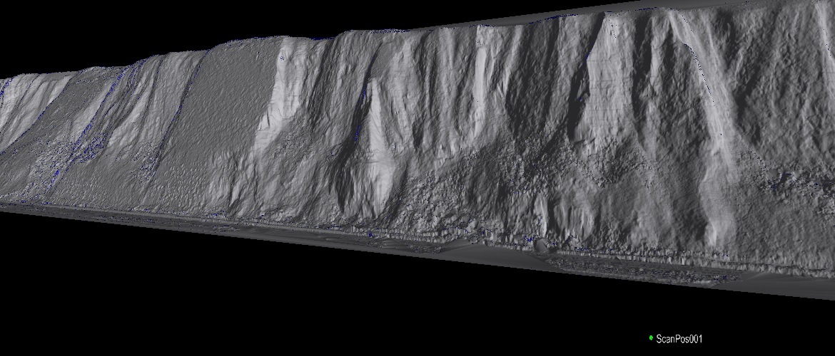
Creating ortho-rectified images from UAV data and meshes from scan data and using surface comparison software to highlighting areas of ground movement provided a quick and effective record.