
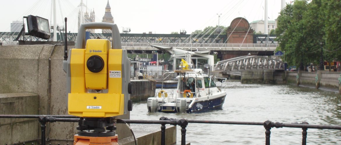

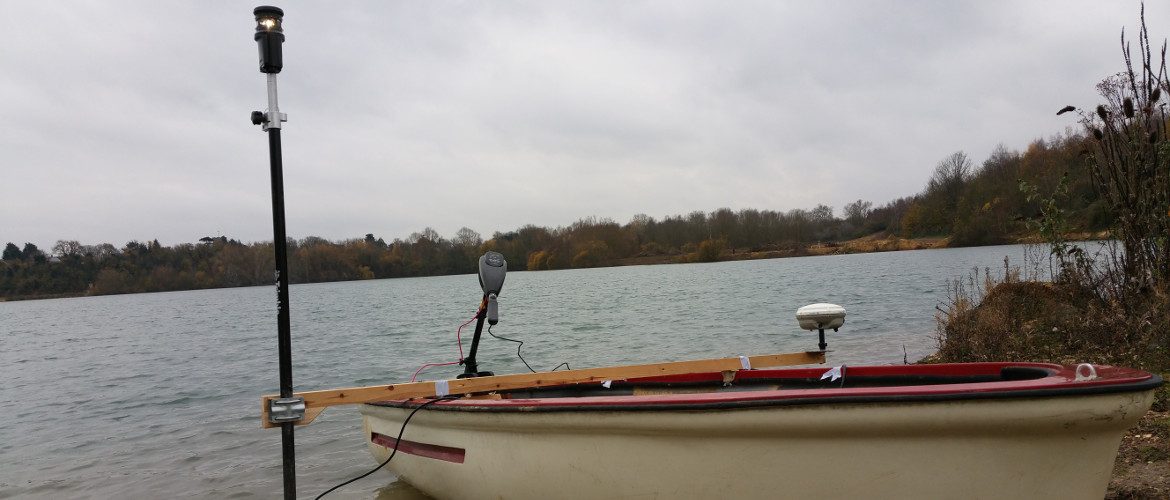
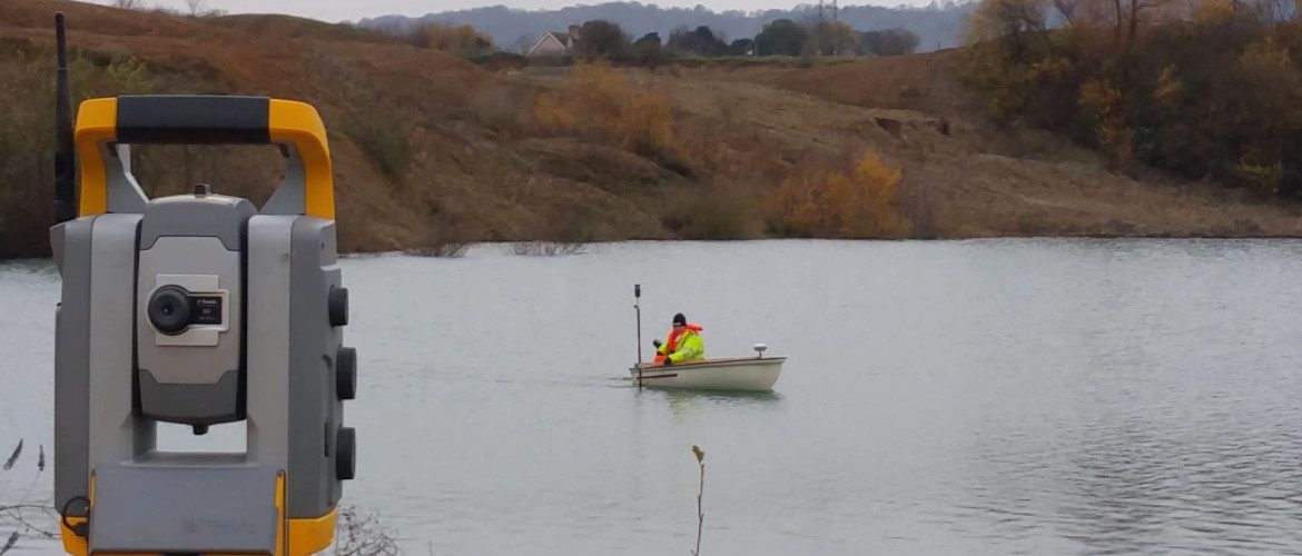
We undertake detailed surveys of lakes, rivers, reservoirs, quarry lagoons and water treatment plants. A sophisticated system employing portable echo sounders, robotic total stations and GPS are used to measure and record data.
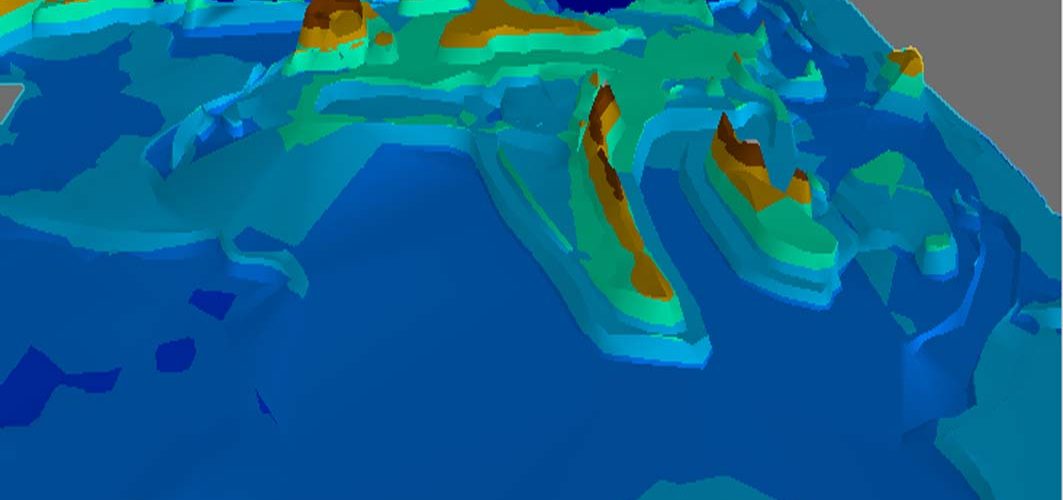
Using specialised software we are able to use the field data in different ways: to display and export models; plotting plans and sections showing underwater detail and contours; to compare models and display level changes caused by silting; calculating volumes; designing development projects; producing flood risk assessments.
We can produce a 3D flythrough to assist in understanding silting and scouring patterns.
Through our association with The Port of London Hydrographic Department we are able to provide a more comprehensive service covering major river, estuary and off shore coastal surveys. Detailed bed to water level surveys seamlessly combined with laser scanned or conventional land surveys. For more information please visit www.pla.co.uk