Laser Scanning or remote surveying reduces the need for costly road closures, plant shut downs. Laser Scanning removes the risks associated with conventional surveying and mapping methods.
The integration of different measuring methods enable the efficient and cost effective generation of plans, sections, elevations and 3D models for use in any environment.
Frequently, the project drawings of complex facilities do not reflect the actual state of the facility. However the planning of renewals and reconstruction has to be based on accurate and up‐to‐date plans.
The scan data can be used to produce 2D and 3D models but for reasons of cost this modelling can be kept to a minimum. Why model something that is likely to be demolished. Filtered cloud point data can be used in Auto Cad and MicroStation along side conventional linear features.
Using scan data in this way ensures that the model used is accurate and not a 3D interpretation. The new design development can be placed within this model and any clash point identified.
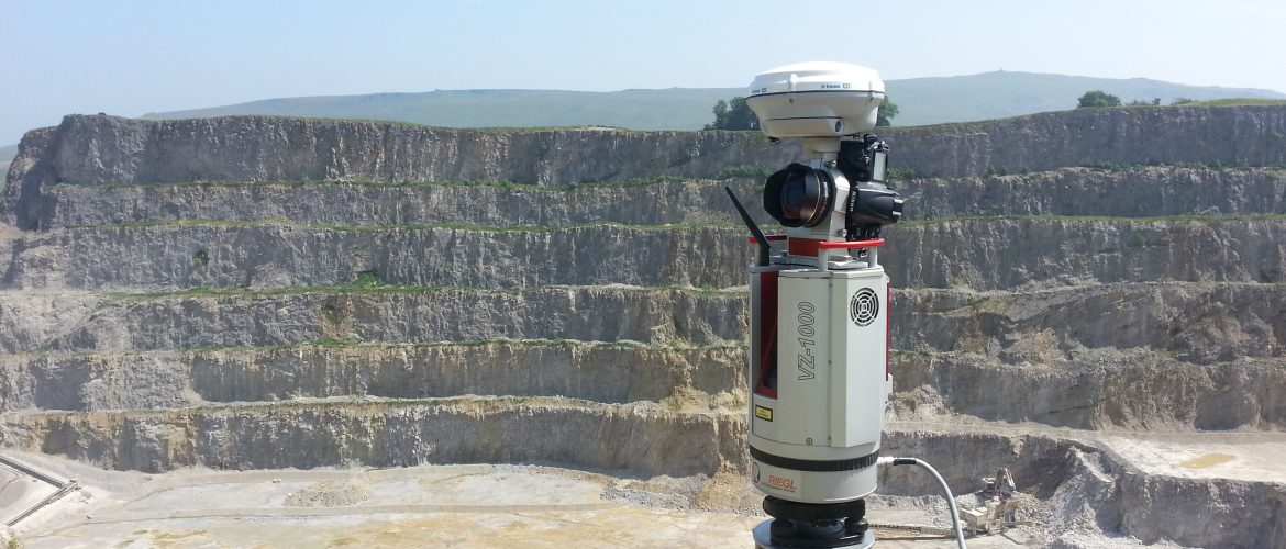
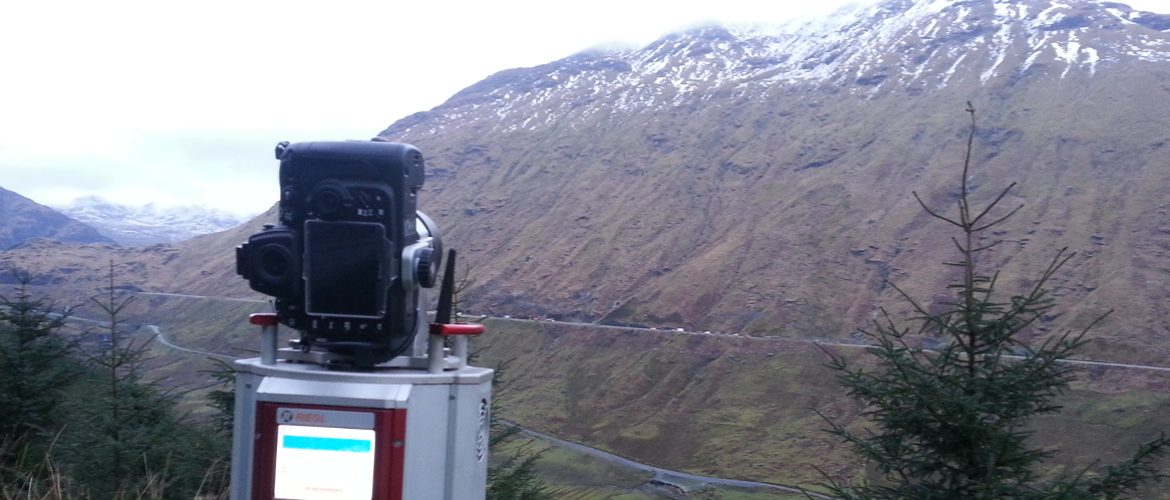
Mining Surveys (UK) Ltd offer a fully integrated surveying service utilising survey grade GPS, Robotic / Reflectorless Total Stations and long range terrestrial laser scanners.